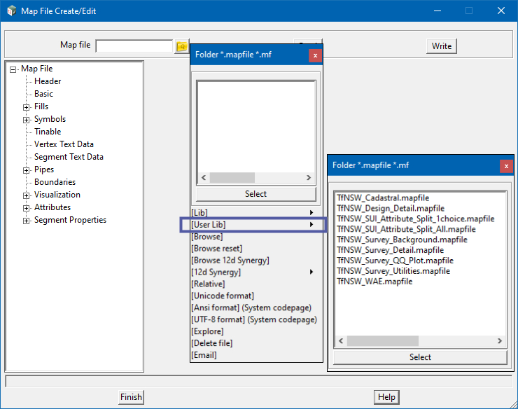
The TfNSW Customisation provides Users with a number of 12d Mapfiles to be used for specific tasks.
The following are the installed list of files and a short description on how / when a specific mapfile should be used.
The “TfNSW Design Detail” mapfile has been provided for use on Road Design data to match the current presentantion and styles as outlines in the Engineering Drawings and CAD Requirements.
The “TfNSW SUI Attribute Split 1 Choice“ map file has been provided for use by Surveyors when picking up SUI (Subsurface Utility Information) feature data. When applied as a Feature attribute map file, during the SDR (Survey Data Reduction) process, string data is split at vertices where the vertex attribute value differs from the previous vertex attribute value.
The user (You) must set what attribute they/you wish to use to perform the split by. This is done by setting the attribute to “active” on the basic tab of the map file, then re-writing (saving) the map file to your current “Working” or “$Customer_Lib” directory.
The “TfNSW SUI Attribute Split All“ map file has been provided for use by Surveyors when picking up SUI (Subsurface Utility Information) feature data.
When applied as a Feature attribute map file, during the SDR (Survey Data Reduction) process, string data is automatically split at vertices where the vertex attribute value differs from the previous vertex attribute value.
The “TfNSW Survey Background“ mapfile has been provided for the mapping of Detail Survey information to a uniform frey colour for the purpose of plotting and presentation.
All Survey strings (mapped by name) are coloured “Shade 48” so “Road Design Detail” information can be applied over the top in the appropriate standards.
The “TfNSW Survey Detail“ mapfile has been provided for the mapping of Detail Survey information to match the current presentation style sheet. All Survey strings (mapped by name) are coloured to the appropriate CADD standards.